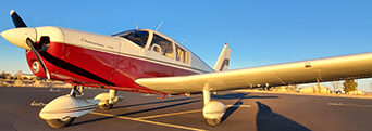
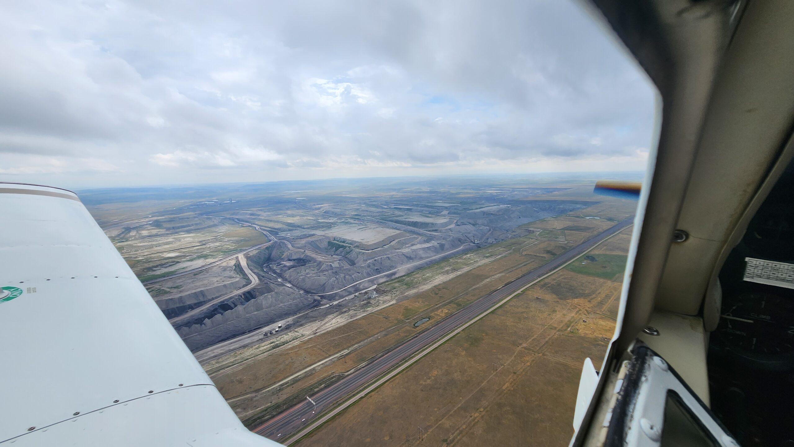
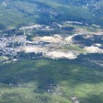
After a good night’s rest we departed Gillette, Wyoming. The night before, we met one of the ground crew at the airport and were given some information about the town and area of Gillette. He told us that Gillette produced a large percentage of coal in the US – I looked it up and it was about 40% of the total coal used here! He also told us about a large open pit mine just south of Gillette and we decided to divert our departure to look at it. John looked up this mine on Google and found that it is the 3rd largest open pit mine in the world. We measured it on Google Maps and saw it to be about 8 miles long and about 5 miles wide. This post’s featured photo is of a smaller pit mine just north of the very large one. The actual mine was too big to photograph at our altitude and weather started developing over it, so we had to leave the area and move on to our next fuel stop which was Greybull, Wyoming.
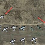
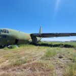
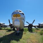
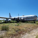
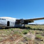
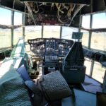
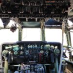
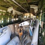
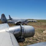
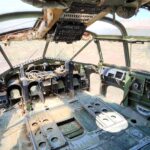
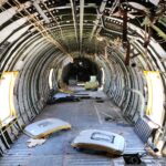
On the way to Greybull, we passed by the Big Horn mountains on our east. Upon our approach into Greybull I noticed some airplanes parked beside the runway in a somewhat disorderly manner and from that altitude, these planes didn’t appear to be in proportion to the runway and the buildings. It turns out as I got closer to landing that these were large planes in an airplane graveyard. The normal sized planes were much smaller. I had set a goal to find out if we could walk over and explore the graveyard. We were in luck. In fact, there were no fences, and we walked through cactus and bush – being careful of snakes – to approach the planes. I have included some photos. Let’s just say that I have been obsessed with these planes and haven’t been able to get them out of mind as of the time I’m writing this post. I was able to climb in and explore the insides of a few of these massive planes that are just set here to rot, unfortunately. See my Google Earth snapshot and the planes I climbed in to take photos. I aborted an exploration of one of the planes because I heard a giant colony of bees or wasps in the wheel well. Safety first! This almost two hour excursion delayed our estimated arrival time to home by a couple of hours. Sorry John!
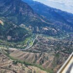
After leaving Greybull, we flew west over Cody, Wyoming and above the Shoshone river through a pass which leads to Yellowstone Lake in Yellowstone National Park. Then we flew around the “Old Faithful” area of the park and the long segment southwest toward Gooding, Idaho. We got a nice view of the Tetons to the east. After fueling up in Gooding, we discovered that Since the airport didn’t have any crew car so that we could get out to eat dinner. So we flew a few miles to the northwest to Mt. Home airport. This was a great airport with campgrounds, a nice cooled pilot lounge and a crew car we used to drive to town. At over 3 hours, this was our longest segment of the whole trip. It was hot and our energy was tapped, so we needed some food and a cool place to regain energy for the last few hours toward home.
I had been worried about how much oil I was consuming during the trip to Oshkosh, so flying home from Mt. Home, I decided to fly at a lower power setting to see if my previously flying at higher power settings was causing the abnormal oil use. So John and I agreed that he would go on ahead at his normal speed while I would trail behind at 2500 RPM. When I left Mt. Home I had only 4 1/2 quarts of oil in the engine, and when I got to Bend, I had just over 4 quarts. I feel as though it proved my theory that flying at the higher power settings, as well as the high temperatures we were experiencing, was a significant factor.
This last segment home proved to be challenging. We had to deal with night flying and smoke obscuring our visibility for the last 70 to 80 miles. To top it off, upon my approach to land, I discovered that my landing light was broke.
It was a relief to have made a nice landing in spite of all the challenges. I unloaded the airplane in the dark and finally drove home.
